
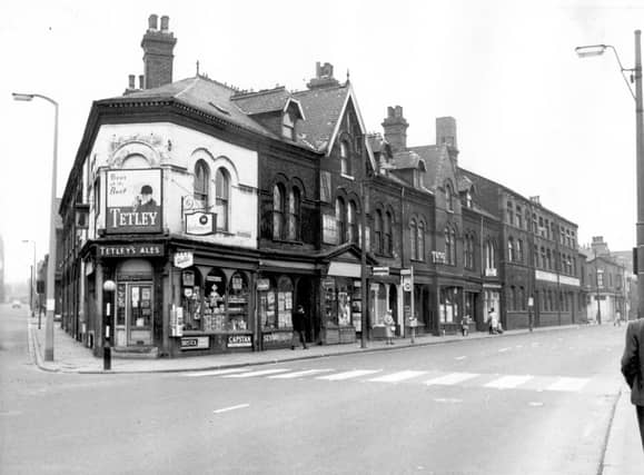


They turn back the clock to celebrate a year in the life of the suburb in 1967 and showcase local landmarks, shops, factories which served the community. The images are published courtesy of West Yorkshire Archive Service, which collects and looks after the unique documentary heritage of the region dating from the 12th century to the present day - more than 800 years of local history. It also runs Catablogue, an online blog dedicated to preserving the past, serving the present and protecting the future. READ MORE: 25 never seen before photos of Woodhouse through the years LOVE LEEDS? LOVE NOSTALGIA? Join Leeds Retro on facebook
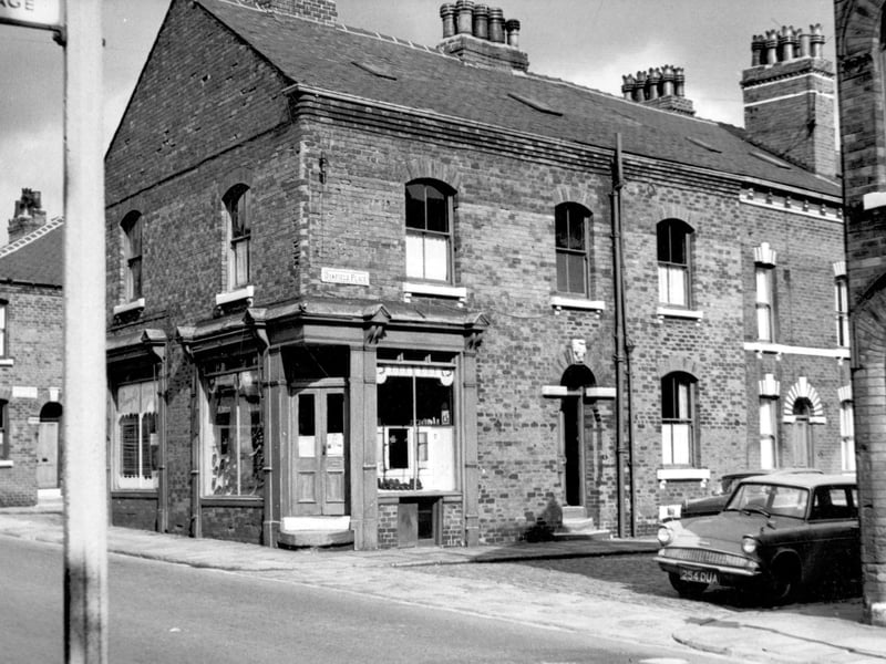
13. Woodhouse in 1967
A view looking across from Woodhouse Street to Oakfield Street. On the left Ashfield Street is visible then yards for outside toilets and dustbins. Next Oakfield Street, numbers 1-7 with Oxford Road dividing the street down the middle. The continuation is on the right edge. Pictured in August 1967. Photo: West Yorkshire Archive Service
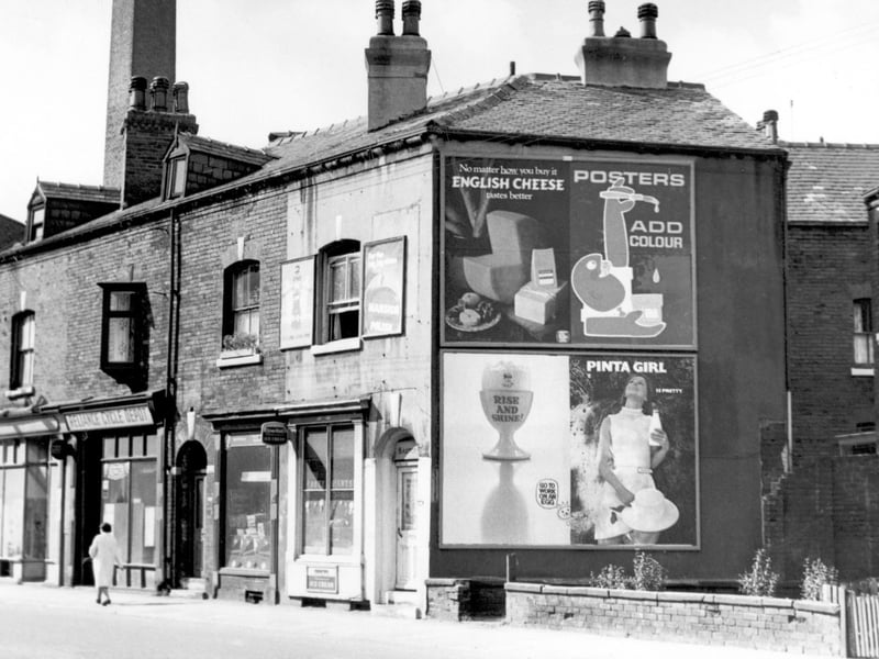
14. Woodhouse in 1967
On the left is the junction with Oxford Road. The Reliance Cycle Depot was number 201 Meanwood Road. To the right the white painted shop was a grocers, Baxter is the name on the doorway. Posters on the wall advertise eggs, milk and cheese. Next a glimpse of property at the back of Oxford Road then the corner of 205 Meanwood Road. Pictured in August 1967. Photo: West Yorkshire Archive Service
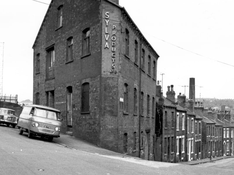
15. Woodhouse in 1967
To the left, the tower block of flats is Holborn Towers, Shay Street. The building at the corner is 22 Servia Hill, Sylva Products Ltd, bias binding manufacturers. This had previously been used as a billiard hall. Claro Road is on the right. Pictured in August 1967. Photo: West Yorkshire Archive Service
16. Woodhouse in 1967
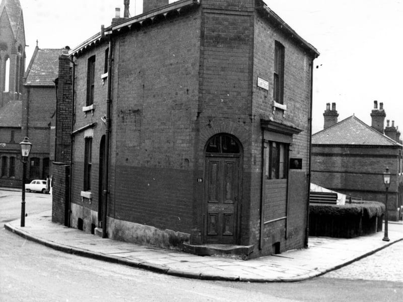
To the left Claro Road bends round to join Servia Road. In the centre is number 11 Claro Road, Claro Terrace is to the left. The gardens which are in view belong to three houses which are numbers 12, 14 and 16 Claro Terrace. The houses with even numbers for Claro Terrace begin across Servia Road on the right edge in this view. Church of the Holy Name is on the right. Pictured in August 1967. Photo: West Yorkshire Archive Service
17. Woodhouse in 1967
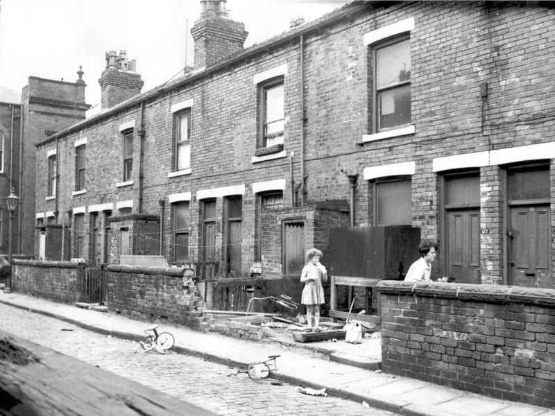
This row of property was the rear of shops on Meanwood Road. To the left is the corner of Clowes Methodist Chapel. Numbers on this row ran from 167 on the left to 151, this view shows from 155 on the right. This was the business of Ella Newsome, ladies and childrens clothes. This area was to be included in the Woodhouse clearance plan, although it was Leeds 7. It was adjacent to the Camp Road (Little London) area and also Sheepscar. Pictured in August 1967. Photo: West Yorkshire Archive Service
18. Woodhouse in 1967
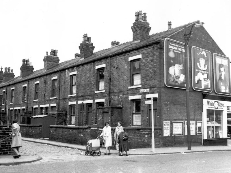
This view is from Oatland Road, looking at Herbert Row, these properties are numbered as Meanwood Road which is to the front of them. On the right edge a cafe which was number 140 Meanwood Road can be seen. Two ladies can be seen on Oatland Road, pushing barrows with laundry. On Meanwood Road was a public wash house, part of Meanwood Road Baths. On the corner of Oatland Road is a cleaners 'White Rose'. Pictured in August 1967. Photo: West Yorkshire Archive Service