
We asked Leeds locals where is the North-South dividing line lies - and this is your verdict

You have spoken 🗣️
It’s a debate as old as time, with answers ranging from rivers and motorways to what sauce you put on your chips.
We’re talking, of course, about the North-South divide, and where exactly we should draw the imaginary line that takes you from one to the other.
When we put it to you, Yorkshire Evening Post readers, we were inundated with theories, ranging from historic geographical features to more recent additions to the landscape, like motorway service stations.
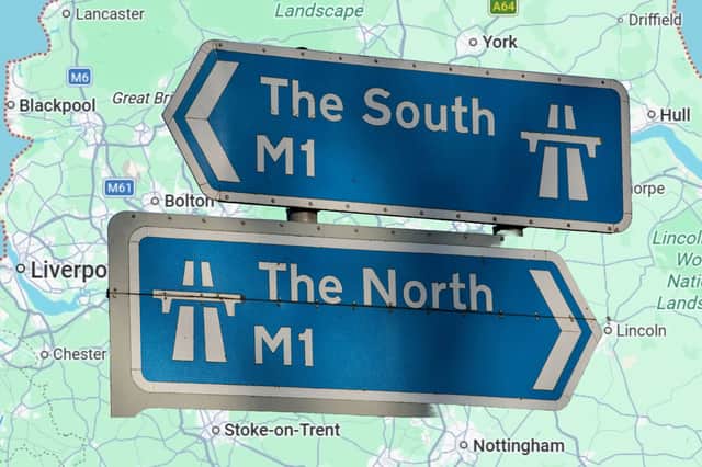

Where is Britain’s midpoint?
As many of you pointed out, the answer depends on whether we’re talking about Britain as a whole, or just England.
If you’re talking about the former, the mainland’s midpoint apparently lies in a field near Whalley, Lancashire. If it’s the latter, the Ordnance Survey’s official map-makers say you’re looking for Lindley Hall Farm, in Leicestershire.
Thankfully, for the purposes of this debate at least, separating North and South isn’t a matter of simple geometry. It’s a question that strikes at the very heart of our being, and whether we identify as northerners or southerners.
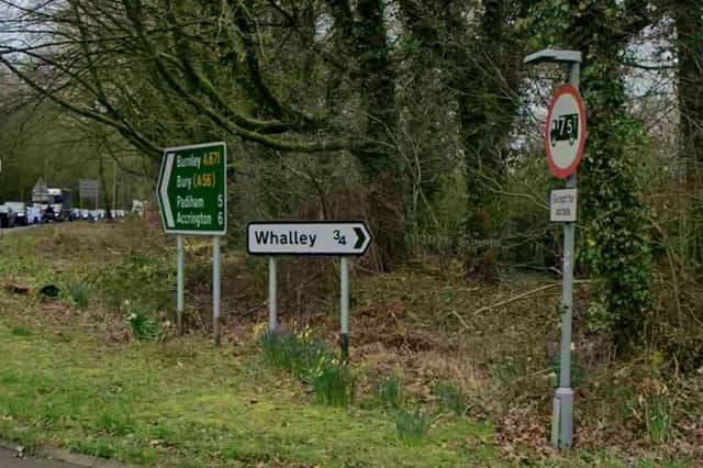
You were also quick to remind us that there’s a handy North-South divider in the shape of the Midlands. However, not only is that a land mass rather than a line, it also takes the fun out of the exercise.
There are a few classic answers when it comes to the dividing line between North and South.
Humber-Severn line’s historic roots
As several of you pointed out, one dates back to the Kingdom of Mercia, which was established in the 6th century. The Humber-Severn line, from the River Humber in the north-east to the River Severn in the south-west, is one that traditionally separates England’s uplands from its lowlands.
A more modern alternative posited by some was the Humber-Mersey line, connecting Hull, in the east, with Liverpool, to the west. As Deni Denison put it: “Anything below the Humber-Mersey line is sarf!”
Several people said the M62 motorway, which follows a similar route, separates North from South, putting Leeds in the former camp, but, somewhat controversially, both Manchester and Sheffield in the latter. Brian Hagyard remarked: “USA has the Mason Dixon line, we have the M62!”
Watford Gap, Scotch Corner or Woolley Edge?
Others suggested the route of the A66, running from just outside Middlesbrough to Workington, in Cumbria; some said it is the River Tees, which historically divides Yorkshire, on its south bank, from County Durham, to the north; and a few of you opted for Spaghetti Junction, where the M6 meets the A38 (M) in Birmingham, or Scotch Corner, on the A1 (M) near Richmond, North Yorkshire.
The most popular answer by far was the Watford Gap, a little to the north-west of Northampton, with many of you suggesting the services there as the obvious dividing point.
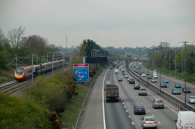
Others thought the Woolley Edge services, around 100 miles north up the M1, near Wakefield, were a better option, while several people pointed out that for Londoners, the Watford services, on the M25, are where the North begins.
For plenty of you, it seems, the South begins just below Sheffield, when you officially leave Yorkshire.
Terry Nolan was in no doubt where to draw the line, saying: “Anything south of Doncaster is for the southern softies; anything north of Doncaster is man country. Subject closed.”
Brown sauce or red sauce?
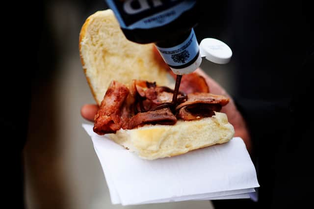
For many of you, it’s not about drawing a line on a map. North or South is an attitude, you told us, defined by our culture, language and accent as much as geography.
Sean Marshall remarked: “It's in your head, OK.”
Julie Holland claimed the South begins ‘where they start saying larst instead of last’.
Carol Vickers said North v South comes down to ‘red sauce v brown sauce’, and, sticking with the culinary theme, Simon Railton said the border should be drawn ‘roughly where veg oil becomes dripping, as the preferred frying medium’.