

The latest data, pulled from the Leeds Observatory, covers every recorded vehicle offence across the city between November 2024 and October 2025.
The figures exclude any incidents that were later cancelled, providing a clear picture of the ongoing issues car owners have had to contend with in the city.
During these 12 months, 5,791 vehicle offences were recorded city-wide.
To help you understand the trends in your community, we have broken down the statistics by middle super output area - neighbourhoods which usually include around 2,000-6,000 households.
Below are the 15 most affected Leeds neighbourhoods, ranked in descending order based on the total number of offences.
All images are for illustrative purposes and do not represent a specific incident or location.

1. Leeds city centre
Leeds city centre reported 234 vehicle crimes that took place between November 2024 and October 2025. | Adobe Stock
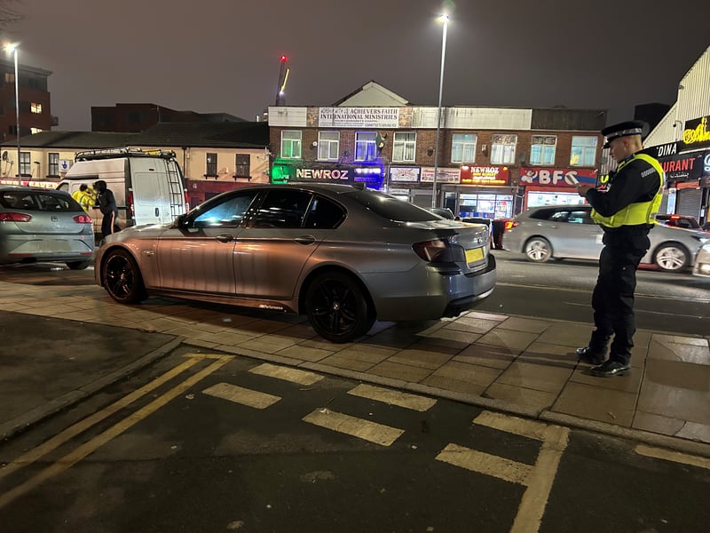
2. Lincoln Green & St James's
Lincoln Green & St James's reported 232 vehicle crimes that took place between November 2024 and October 2025. | West Yorkshire Police
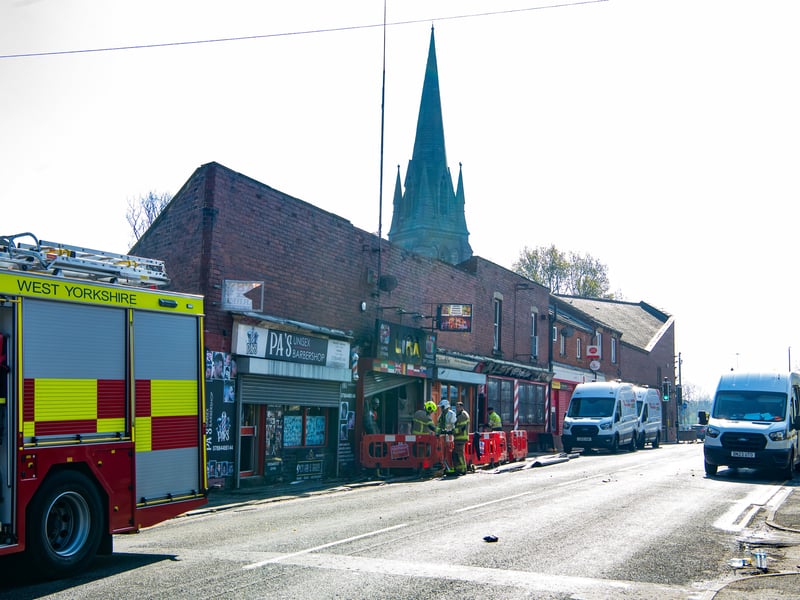
3. Holbeck
Holbeck reported 162 vehicle crimes that took place between November 2024 and October 2025. | Tony Johnson
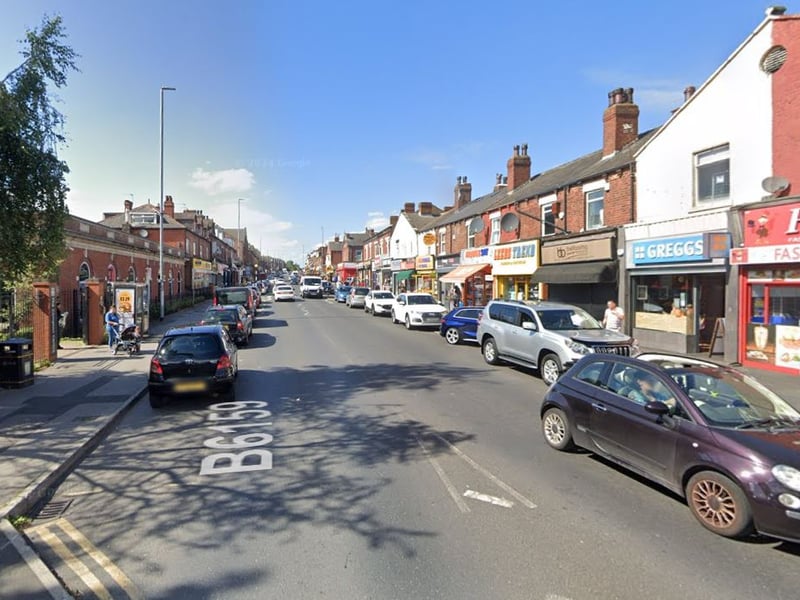
4. Harehills South
Harehills South reported 155 vehicle crimes that took place between November 2024 and October 2025. | Google
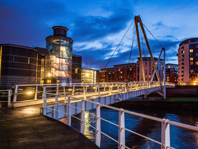
5. Leeds Dock, Hunslet and Stourton
Leeds Dock, Hunslet & Stourton reported 151 vehicle crimes that took place between November 2024 and October 2025. | Bruce Rollinson

6. Harehills North
Harehills North reported 133 vehicle crimes that took place between November 2024 and October 2025. | Google