
Met Office delivers verdict on how long Leeds heatwave will last - as temps to hit 31C
Don’t put away your bucket hat and sandals anytime soon ☀️
A heatwave will bring scorching temperatures to Leeds over the coming days as the city is set to bask in the sunshine.
The second May Bank holiday is set to be the hottest day of the year so far, with temperatures expected to surpass 30C tomorrow (May 25). It comes after a run of days when the warm conditions returned.
It is not looking like a flash in the pan, with the on-going heatwave set to continue over the coming days. The UK Health Security Agency (UKHSA) has issued a yellow heat health alert for Leeds and the wider Yorkshire area.
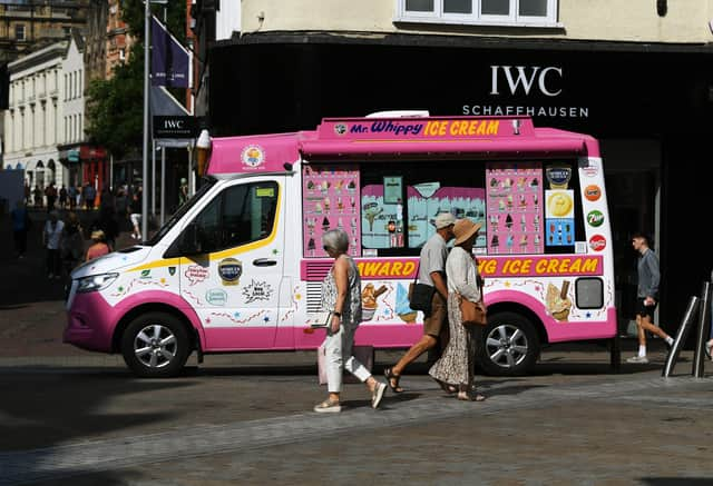

The Met Office is predicting that it will remain “very warm” over the coming days in Leeds. The forecast for the upcoming week is as follows:
- Sunday - Sunny - highs of 26C, lows of 14C
- Monday - Sunny - highs of 31C, lows of 17C
- Tuesday - Sunny - highs of 26C, lows of 10C
- Wednesday - Sunny intervals - highs of 20C, lows of 10C
- Thursday - Sunny - highs of 27C, lows of 15C
- Friday - Sunny intervals - highs of 26C, lows of 14C
- Saturday - Sunny intervals - highs of 24C, lows of 13C
Based on the current forecast, the coolest day in the coming week is set to be on Wednesday (May 27) and even then it will still reach a maximum of 20 degrees. Bank Holiday Monday (May 25) looks set to be the hottest of the year, reaching as high as 31C at points.
Looking to next weekend and beyond, the Met Office said: “Fine weather and light winds are likely to continue for most places as high pressure is expected to remain in place for much of the UK, although there may be a few showers with the odd rumble of thunder in the west on Thursday.
“Temperatures will remain warm or very warm inland, but it will feel cooler near the coast, especially with an onshore breeze. Heading into June, more in the way of cloud is possible, perhaps accompanied by some rain and showers at times, though still a lot of warm and dry weather in between.”
In its long-range forecast, looking ahead into early weeks of June, the forecaster adds: “The weather may be a little unsettled initially, with drier weather expected between any bouts of wetter weather. These drier interludes will tend to last longer across the south and east of England and Wales.
“By mid June there is slightly more evidence that high pressure will dominate, bringing more in the way of dry weather for much of the time. However this does not rule out showery intervals, which can be heavy and thundery this time of year.
“Temperatures are most likely to be near or slightly above average overall, with some warm or very warm weather about.”
Yorkshire Water issued an update on the reservoir levels ahead of the Bank Holiday. Meanwhile, Leeds residents are being urged to look out for “vulnerable people” during the heatwave.