
Leeds weather: Heavy snow expected in city with weather warning issued across region by Met Office

Leeds will feel noticeably colder today than recent days as temperatures drop to around freezing overnight with heavy snowfall on its way.
After a cold start, Wednesday (February 7) will be a mostly fine day with sunny spells and lights winds, with some clouds likely. It will however feel much colder than recent days and temperatures are unlikely to exceed 7°C.
Overnight into Thursday, however, widespread frost is expected as temperatures reach below freezing. From 6am, a yellow weather warning for snow is in place, with a period of snowfall that could bring disruption to some services.
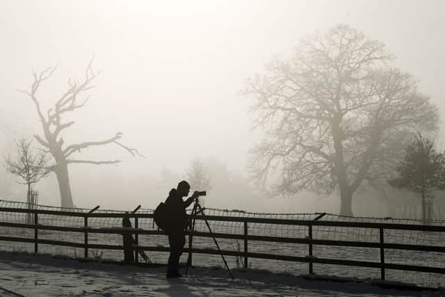

While starting off light, heavy snow is predicted by the Met Office in the early afternoon and into the evening, with temperatures not exceeding 1°C.
The warning is in place across Leeds and large parts of Northern England for 24 hours, to 6am on Friday (February 9), during which there is a small chance that power cuts will occur and other services such as mobile coverage may be affected.
There is also a slight chance that some rural communities could become cut off and risks of travel delays on roads and rail.
Overnight into Friday, the snowfall will be replaced with rain, turning heavy in the morning as temperatures again rise to around 7°C.
The weather is forecast to remain stable into the weekend with temperatures between 7 and 9°C with overcast and clouds likely.