
Leeds weather: Met Office delivers verdict on ‘471-mile blizzard’ claims
An overcast and gloomy start to the year has begun to give way to a touch more sunshine - even if it can feel quite chilly still in Leeds.
Temperatures in the city have started to slide back down a little, after a practically balmy end to February and start of March. It is set to remain just above 10C at most over the next few days, according to the latest Met Office forecast.
A mixture of sunny spells and some downpours of rain are expected throughout the working week. It will become colder again heading into the weekend and could get as cold as 2C on Friday (March 13).
But could winter be about to bite back just when it had looked like we’d turned the corner? The Mirror Online has reported that a ‘471-mile blizzard’ will sweep ‘large swathes’ of the country and could bring temperatures as cold as -7C.
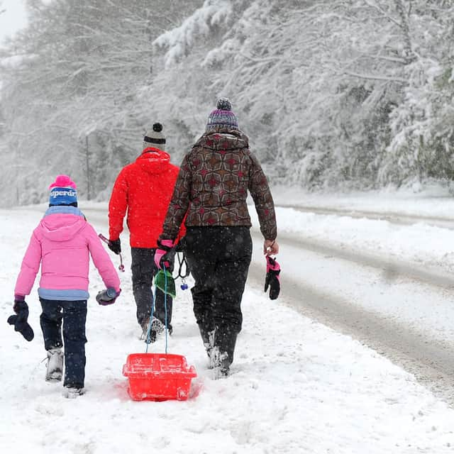

According to the report, the cold spell could arrive from Friday and bring snow as far south as Manchester. However, the latest forecast for Leeds does not currently include the white stuff.
The Met Office’s current outlook for the city is predicting sunny intervals on Friday with a slightly cold high of 8C and potential lows of 2C. So it might feel rather bitter while you are out and about.
For Saturday and Sunday, the picture looks rather similar, with sunny spells on March 14 followed by a chance of rain on March 15. If you are planning a walk with mum for Mother’s Day, maybe Saturday is the better option!
The outlook for March 12 to March 15 on the Met Office’s website reads: “A band of rain, locally heavy, moves erratically southeastwards Thursday, accompanied by squally winds. Colder on Friday, with sunny spells and blustery showers. Drier, brighter and less windy on Saturday.”
Looking a little further ahead, the national forecaster adds: “More blocked, or slowly evolving, weather patterns are favoured for late March into early April, with high pressure probably building to the north or northeast of the UK.
“Whilst confidence is low in how this will influence the weather across the UK, this tends to lead to a more prolonged period of a certain weather type, be it settled or unsettled.
“In any case, a reduction in Atlantic-dominated weather patterns is favoured, although some wet weather remains possible at times, perhaps more especially in the south and east whilst northwestern areas tend to be drier than average.
“Temperatures will probably be close to average for the period as a whole, but there is an increased chance of some colder conditions developing for a time with a risk of frost.”
It does not sound like any blizzards will be sweeping through Leeds and Yorkshire anytime soon. Although, there might be some colder days in store, if there is a risk of frost.