
Leeds weather: When cold spell is forecast to end as snow covers city - see Met Office forecast for week ahead
Watch the Met Office forecast, as we take a look at the conditions predicted for Leeds for the week ahead.
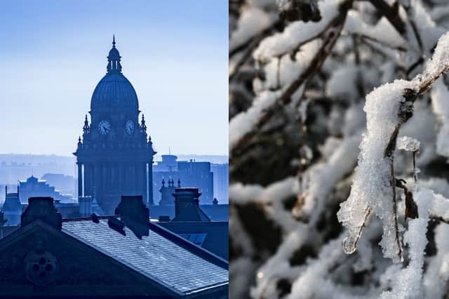
Leeds residents woke up to the city covered in snow this morning (Sunday January 11) after two weeks of cold and icy conditions.
Dog walkers were spotted on a snowy walk at Temple Newsam and families were caught enjoying some sledging in Roundhay Park.
The Met Office is forecasting milder temperatures for Leeds next week, however some unsettled conditions are to continue - with rain and winds forecast.

A UK Health Security Agency (UKHSA) amber cold-health alert for Yorkshire and the Humber is set to expire at 12:00 tomorrow (Monday January 12).
Will it snow in Leeds next week?
With temperatures set to rise, the Met Office are not currently forecasting snow or sleet for Leeds next week.
Met Office Leeds forecast
Monday January 12 - Partly cloudy changing to sunny intervals by late morning, top temperature 10°C, highest wind gust 28mph
Tuesday January 13 - Cloudy changing to light showers by lunchtime, top temperature 8°C, highest wind gust 13mph
Wednesday January 14 - Clear changing to partly cloudy in the afternoon, top temperature 5°C, highest wind gust 14mph
Thursday January 15 - Cloudy changing to sunny intervals by late morning, top temperature 7°C, highest wind gust 17mph
Friday January 16 - Overcast, top temperature 7°C, highest wind gust 11mph
Saturday January 17 - Overcast, top temperature 7°C, highest wind gust 8mph
Met Office UK long-range weather forecast
Thursday January 15 to Saturday January 24
Changeable and occasionally unsettled conditions are expected across the UK during this period. Low pressure systems moving in from the Atlantic will tend to dominate, meaning showers or longer spells of rain for much of the UK. Some heavy rain or showers are likely at times, most often across high ground in the west where rainfall totals will probably be highest. Periods of strong wind or gales are possible, especially around coasts and if any deep areas of low pressure develop in the vicinity of the UK. Some short-lived spells of mainly dry weather are likely between weather systems. Temperatures are expected to be close to or slightly above average for the time of year overall.
Sunday January 25 to Sunday February 8
A broadly southwesterly regime is most probable during this period, bringing changeable conditions and spells of wet weather, with some heavy rain in places. Strong winds are possible at times with temperatures mostly near normal. Some spells of more settled weather are possible between weather systems.