
Leeds weather: Hour-by-hour forecast as long-awaited warm spell arrives - latest Met Office forecast
A spell of sunshine and warm weather is set to arrive in Leeds in the coming hours.
The city will bask in the spring sun as temperatures are set to climb after the recent return of near freezing weather. The Met Office is expecting the sunny spells to continue throughout the week.
Dan Harris, Chief Forecaster for the service, said: “Wednesday looks likely to be the warmest day of the week for many, with high pressure dominant. The warmest spots are likely to be in parts of west Wales and western England, where under sunny skies,18-19ºC, possibly even 20ºC is on the cards.
“This is due to the additional boost expected from the passage of east to south-easterly winds over areas of higher ground, known as the Foehn effect.
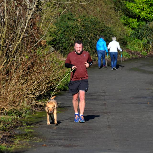

“There’ll be a big diurnal range this week, which is the difference between the maximum daytime temperature and minimum overnight temperature. Thanks to the clear skies during the day, we’ll see some chilly nights after the warmer days with a few places experiencing air frost.”
The outlook for today (March 17) is for the sun to emerge after a cloudy start with highs of 17C possible during the day. It marks the start of a run of five consecutive sunny days in Leeds.
Tomorrow (March 18) looks set to be the warmest day of the week with highs of 18C expected in the city. It will be hottest after lunch between 2pm and 5pm, but it could feel chillier in the evening with temperatures dropping to as low as 6C.
The hour-by-hour forecast for Tuesday predicts exactly when the sunshine will emerge. It is as follows:
- 8am - sunny intervals - 11C
- 9am - sunny intervals - 12C
- 10am - sunshine - 13C
- 11am - sunshine - 14C
- Noon - sunshine - 15C
- 1pm - sunshine - 16C
- 2pm - sunshine - 16C
- 3pm - sunshine - 16C
- 4pm - sunshine - 16C
- 5pm - sunshine - 15C
- 6pm - clear night - 14C
- 7pm - clear night - 13C
- 8pm - clear night - 12C
- 9pm - clear night - 11C
- 10pm - clear night - 10C
- 11pm - clear night - 9C
The longer term outlook from this weekend until the end of March, The Met Office predicts: “Under the influence of high pressure it will be a settled start to this period, with most places predominantly dry, although the odd shower cannot be ruled out in the southeast, and some rain may threaten the extreme north or northwest.
“Temperatures will be close to or a little above average, although for parts of the south it will feel cooler than earlier in the week with a brisk easterly wind starting to develop. Overall though is spells of spring sunshine it should feel quite pleasant.
“How long the settled conditions last is less certain with some signals that showers / rain could return later in the period, most likely to the south.”
For April, The Met Office adds: “Blocked, or slowly evolving, weather patterns are favoured for late March into early April, with high pressure probably building to the north or northeast of the UK. Whilst confidence is low in how this will influence the weather across the UK, this tends to lead to a more prolonged period of a certain weather type, be it settled or unsettled.
“In any case, a reduction in Atlantic-dominated weather patterns is likely, although some wet weather remains possible at times, perhaps more especially in the south and east whilst northwestern areas tend to be drier than average.
“Temperatures will probably be close to average for the period as a whole, but there is an increased chance of some colder conditions developing for a time with a risk of frost.”