
UK weather: When rain and wind is forecast for Leeds this weekend - Met Office weekend forecast
Watch the Met Office weekend forecast, as rain is expected for Leeds this weekend.
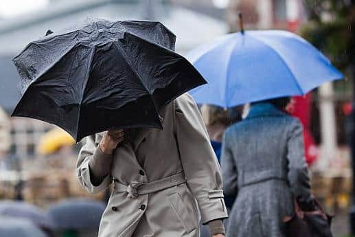
The Met Office is forecasting rain and wind for Leeds this weekend (January 24 and 25).
Saturday (January 24) looks to be a mostly dry day for Leeds, but it could be quite windy - with gusts of up to 28mph forecast. Rain is forecast for the city on Sunday morning (January 25), again with wind gusts of up to 28mph predicted.
Met Office Leeds weekend weather forecast
Saturday January 24 - Overcast changing to sunny intervals by lunchtime, top temperature 8°C, highest wind gust 28mph, 30% chance of precipitation at 22:00.
Sunday January 25 - Light rain changing to overcast in the afternoon, top temperature 7°C, highest wind gust 28mph, 50% and over chance of precipitation until 14:00, before dropping to 30% chance of precipitation at 17:00.

Met Office Yorkshire and Humber weather forecast
Saturday January 24
Largely cloudy and breezy but mostly dry, perhaps some limited brighter spells developing. Rain spreading in during the evening, possibly turning to snow over high ground. Maximum temperature 8 °C.
Outlook for Sunday January 25 to Tuesday January 27
Unsettled with rain or showers likely. There may be a drier interlude on Monday bringing overnight frost and fog. Turning colder Tuesday with rain or snow possible through the day.
Met Office UK long-range weather forecast
Wednesday January 28 to Friday February 6
Weather systems moving in from the Atlantic will continue to attempt to push in from the west, but tending to stall in the vicinity of the UK as they encounter high pressure to the north and northeast. As a result, further spells of rain or showers are expected at times. These may be heavy and persistent, especially in the south and west. Whilst mild conditions are expected to encroach into the south and southwest at times, cold air is likely to be positioned to the northeast, bringing wintry showers at times. Where fronts from the south west do reach the cold air towards the north east, there is the risk of some snow, most likely across hills, but perhaps extending to other areas at times.
Saturday February 7 to Saturday February 21
A similar theme is expected to continue as Atlantic frontal systems attempt to push eastwards at times. As the jet stream is slightly further south than normal, the wettest conditions are more likely in central and southern areas. North and northwestern parts of the UK are most likely to be drier than normal. Whilst mild incursions of wet and windy weather are favoured at times in the south and west, colder conditions in the north and northeast will bring an increased risk of wintry hazards, especially where any precipitation from the south west interacts with the cold air.