
Yellow weather warning issued by the Met Office as Leeds set to be hit by ice and sleet tonight

A yellow weather warning has been issued across Yorkshire and the Humber as temperatures are set to drop overnight.
The Met Office is predicting disruption to travel tomorrow (Saturday 17 December), with showery rain, sleet and snow overnight creating icy conditions for commuters. Temperatures as low as -4C have been predicted for Leeds this evening (Friday 16 December), with cold fog lingering in parts of the city until the morning.
On Sunday (18 December), icy conditions are expected to continue, with the weather becoming milder and snow turning to rain as the day goes on.
The full statement issued by the weather service is as follows: “Bands of showery rain are expected to run inland tonight, turning to sleet and snow over some of the higher ground. Surfaces are very cold at present, posing the possibility of ice in some areas, the likelihood of this perhaps increased in places by "wash-off" of road grit or salt. Above 200 to 300 metres elevation some snowfall is likely, with a few cm over some trans-Pennine routes.”
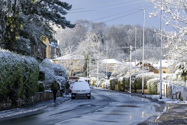

The Met Office has also warned of the dangers of untreated roads, pavements and cycle paths this weekend, leading to an increased chance of accidents and injuries on the ice.
Official guidance states that drivers should use dipped headlights, accelerate gently and use a low gear to go down hill when driving in snowy conditions. Walkers should wear several layers of clothing and keep dry to prevent loss of body heat, and be aware of black ice to prevent accidents.