
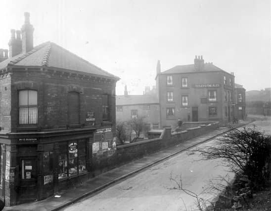


The gallery turns back the clock to the 1930s and brings into focus life around Buslingthorpe, which falls within the Little London and Woodhouse ward. Street scenes, shops and pubs all come under the spotlight as well as local landmarks. The photos are published courtesy of photographic archive Leodis, which is run by Leeds Library & Information Service. They also run heritage blog The Secret Library Leeds, which provides a behind the scenes look at the Central Library and highlights from its special collections, including rare books hidden away in the stacks. READ MORE: Memories of lost Leeds pubs - Chapel Allerton, Sheepscar, Chapeltown and Little London LOVE LEEDS? LOVE NOSTALGIA? Join Leeds Retro on facebook YEP RETRO NEWSLETTER: Sign up for our free monthly email digest of Leeds nostalgia
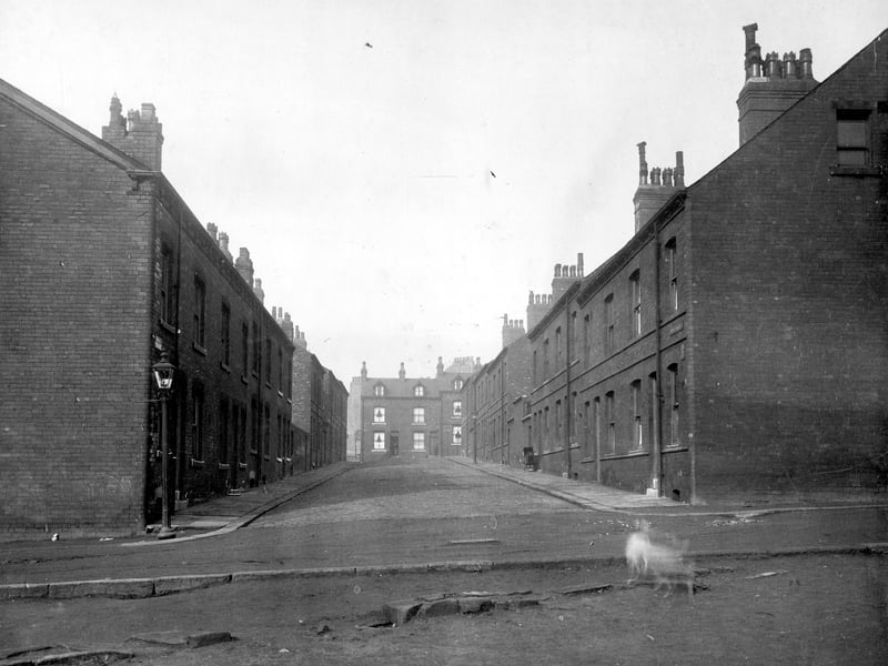
7. Buslingthorpe in the 1930s
Raby Terrace in March 1930. Brick terrace, blocks of outside toilets are halfway down the street, space to house them can be seen. | Leeds Libraries, www.leodis.net Photo: Leeds Libraries, www.leodis.net
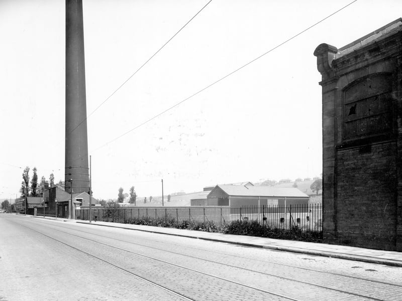
8. Buslingthorpe in the 1930s
Looking towards Meanwood, chimney for council waste disposal yard, number 388 Meanwood Road, 'Leeds Corporation Destructor'. The area in the centre, rising behind buildings is Sugar Well Hill. Pictured in July 1938. | Leeds Libraries, www.leodis.net Photo: Leeds Libraries, www.leodis.net
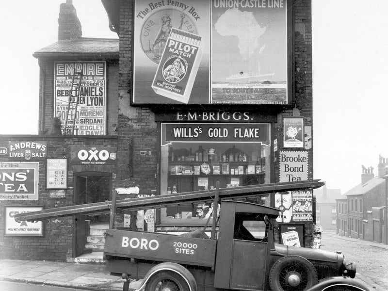
9. Buslingthorpe in the 1930s
A general grocers and tobacconists shop on Buslingthorpe Lane in October 1939. | Leeds Libraries, www.leodis.net Photo: Leeds Libraries, www.leodis.net
10. Buslingthorpe in the 1930s
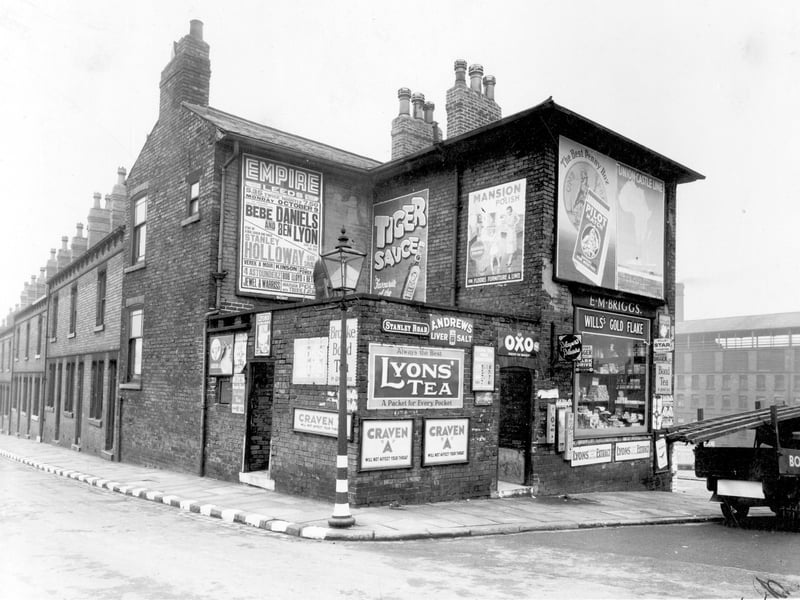
The junction of Buslingthorpe Lane, on the left, with Stanley Road in October 1939. Raby Street is on the far side of the row of buildings, and the factory building in the distance on the right is Charles F. Stead, leather manufacturers, who were located on Sheepscar Street. The shop premises at no. 83 Buslingthorpe Lane belong to grocer, Edith Mary Briggs. | Leeds Libraries, www.leodis.net Photo: Leeds Libraries, www.leodis.net
11. Buslingthorpe in the 1930s
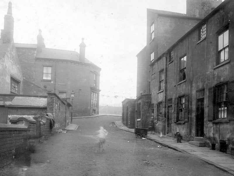
A view Looking up Buslingthorpe Road with Buslingthorpe Place on the left towards junction with Scott Hall Road. The photo from April 1930 shows nos. 1,3 and 5 Buslingthorpe Road (right) - a terrace of 3 storey houses with cellars with taller buildings towards top of row. A pram can be seen on road. Gas Lamp visible on corner. | Leeds Libraries, www.leodis.net Photo: Leeds Libraries, www.leodis.net
12. Buslingthorpe in the 1930s
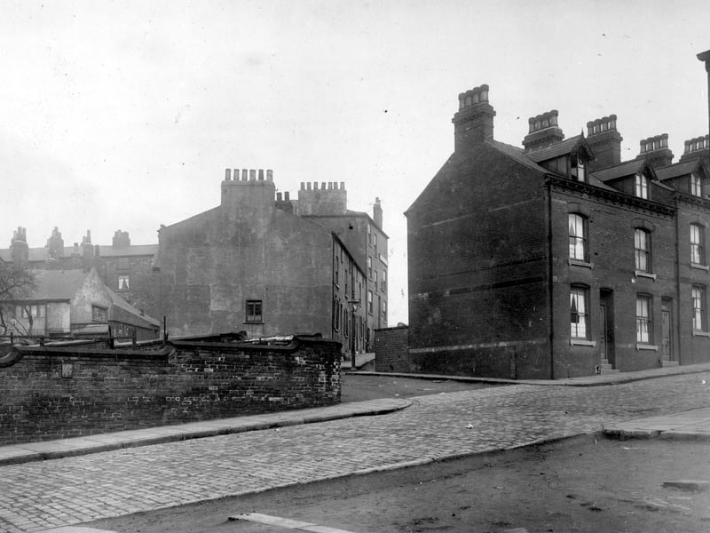
On the left, perimeter wall around reservoir, Stanley Road continues towards the right, terrace houses with dormer windows to attic floors. Extreme right is the end of Raby Place and cleared ground where houses have been demolished. In the centre is Buslingthorpe View. Pictured in April 1930. | Leeds Libraries, www.leodis.net Photo: Leeds Libraries, www.leodis.net