
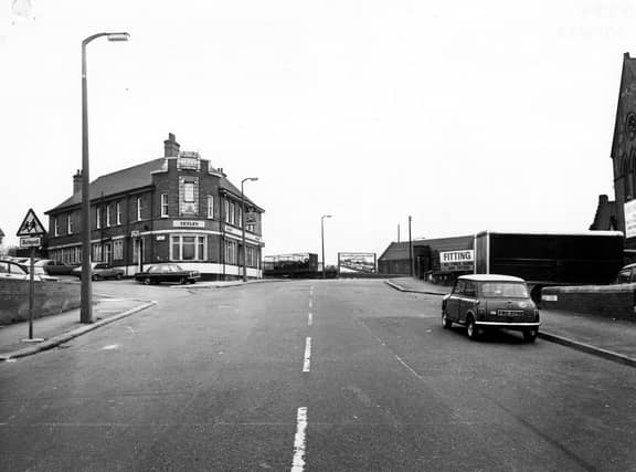


The 1970s is the destination for this trip down memory lane charting a decade in the life of Cross Green and its residents. The area lies in the LS9 postcode area between Osmondthorpe, Richmond Hill and Hunslet. And this gallery brings into focus landmarks, pubs and well-travelled streets all of which will be familiar to a generation of the local community from back in the day. The images are a mix from West Yorkshire Archive Service and others published courtesy of photographic archive Leodis, which is run by Leeds Library & Information Service. READ MORE: Memories of lost Leeds pubs in Richmond Hill, Burmantofts, Cross Green and East End Park LOVE LEEDS? LOVE NOSTALGIA? Join Leeds Retro on facebook YEP RETRO NEWSLETTER: Sign up for our free monthly email digest of Leeds nostalgia
7. Cross Green in the 1970s
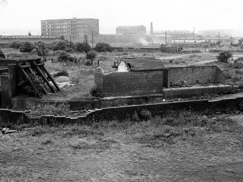
An area of wasteland off East Street with derelict brick buildings in the foreground, and factories in the background. Pictured in October 1978. | Leeds Libraries, www.leodis.net Photo: Leeds Libraries, www.leodis.net
8. Cross Green in the 1970s
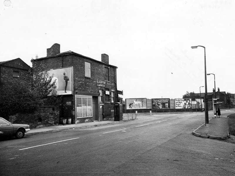
Cross Green Lane looking south east, showing junction with Ark Street in the foreground. A. Lightfoot, clothiers is at No. 43 in the centre, by the junction with Easy Road. There are advertising hoardings by the road and a telephone kiosk and bus shelter in view. Pictured in October 1978. | Leeds Libraries, www.leodis.net Photo: Leeds Libraries, www.leodis.net
9. Cross Green in the 1970s
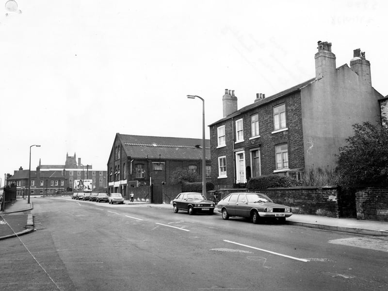
Cross Green Lane looking north west, with Nos. 37-39 in the foreground. Further along the road is a factory and in the background on the left the Fisherman's Hut public house. Pictured in October 1978. | Leeds Libraries, www.leodis.net Photo: Leeds Libraries, www.leodis.net
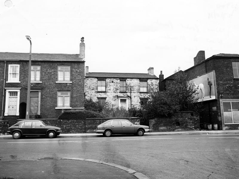
10. Cross Green in the 1970s
Houses on Cross Green Lane, with A. Lightfoot, Clothiers, at No 43 on the right. The junction with Ark Street is in the foreground. Pictured in October 1978. | Leeds Libraries, www.leodis.net Photo: Leeds Libraries, www.leodis.net