


The photos turn back the clock to 1965 and provide a fascinating glimpse into what life was like in the town with local landmarks, shops and pubs all featured as well as aerial views. The photos also showcase the town as an engine room of industry with memories from inside mills and factories. The images are published courtesy of the David Atkinson Archive whose collection is housed photographic archive Leodis, which is run by Leeds Library & Information Service. READ MORE: Memories of lost Leeds pubs in Morley, Gildersome, Churwell and Drighlington LOVE LEEDS? LOVE NOSTALGIA? Join Leeds Retro on facebook YEP RETRO NEWSLETTER: Sign up for our free monthly email digest of Leeds nostalgia
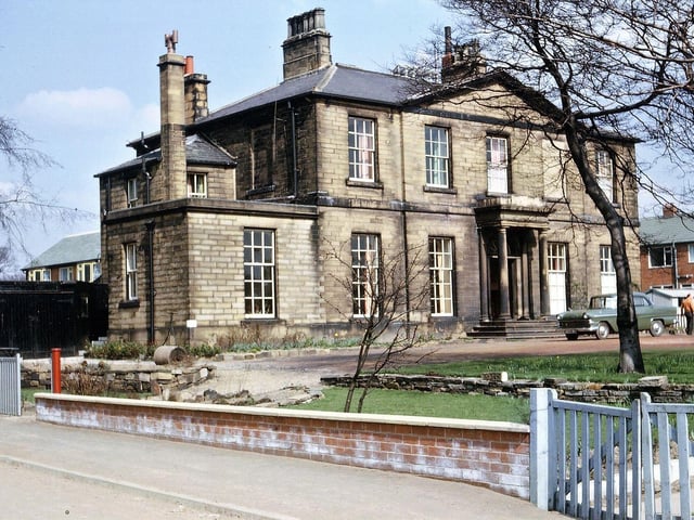
13. Morley in 1965
Springfield Hall, surrounded by new housing in Springfield Road and Springfield Avenue. At the time of the photograph it was still used as a private residence for people who worked as managers in different departments of Hield Bros. Ltd. Springfield Mills - namely Mr. J. Roberts and his family at the left, and Mr. H. Metcalfe and his family at the right including the main entrance. Photo: David Atkinson Archive
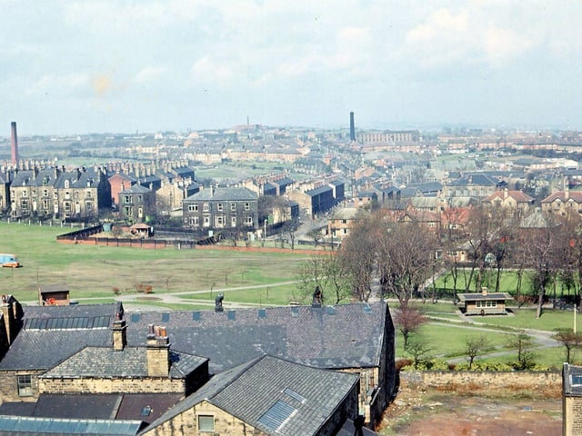
14. Morley in 1965
A view west from the Town Hall Tower, Morley. In the bottom left hand corner can be seen some buildings that were originally part of Albert Mills. In the centre some of the Hopkins Gardens and most of the bowling green in Scatcherd Park is visible. Scatcherd Park Avenue and the Rehoboth Chapel are seen through the trees surrounding the bowling green and a good section of Fish's Fields is visible. Brighton House and about half of Gladstone Terrace face on to the fields while behind these the remains of the New Brighton terraces can still be seen from Hilton Terrace up to Parliament Street. Dean Hall mill chimney is on the left hand side; Deanfield Mill chimney is to the right and on the horizon is that of Highfield Mills at Gildersome. Photo: David Atkinson Archive
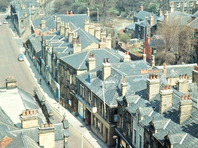
15. Morley in 1965
A view northwards along Queen Street from the bell tower of Morley Town Hall. The lack of traffic along the main street is due to the picture being taken on a Sunday morning. Most of the shops, from Ernest Wilson's to before Coffin Corner, date from 1870 to 1890, though the lower, smaller buildings at the end of this parade were probably built at the beginning of the nineteenth century. Pictured in April 1965. Photo: David Atkinson Archive
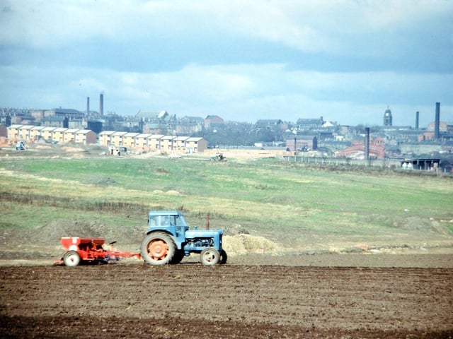
16. Morley in 1965
Looking westwards from Topcliffe Lane (beyond Glen Mills) towards Morley town centre. The Town Hall and Peel Mills are visible on the horizon, right. Towards the left of the image, in the middle distance, new council housing on the Glen estate is being constructed. This eventually came to occupy much of the green field land in the centre of the image. Later still, the land in the foreground being prepared for cultivation also succumbed to the housing. Photo: David Atkinson Archive
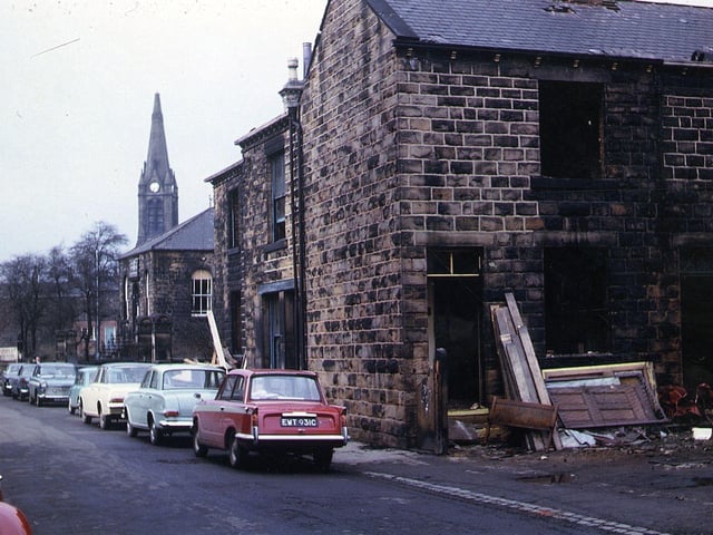
17. Morley in 1965
Houses on Brighton Square in the process of demolition, seen from Commercial Street, were also soon to be demolished; the area is now covered by Marshall Close. Cars are parked along Commercial Street and the spire of St. Mary's-in-the-Wood Church can be seen in the background. Pictured in May 1965. Photo: David Atkinson Archive
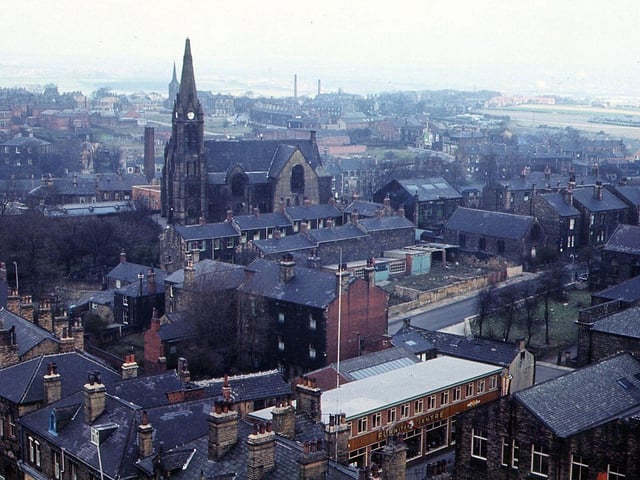
18. Morley in 1965
Looking north-east from Morley Town Hall Tower. Dominating the picture is St. Mary's-in-the-Wood Church, with St. Peter's Church in the distance behind this. Commercial Street is on the bottom right, with Zoar Street leading off from this to the centre right. Buildings on Queen Street can be seen in the bottom left hand corner. Photo: David Atkinson Archive