
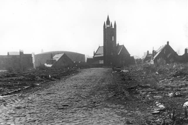


They focus on Sheepscar at a time when there were many streets of densely built houses, which by the 1950s and early 1960s were in bad condition and surrounded by industry. Thousands were bulldozed as Leeds built for the future. The images are published courtesy of West Yorkshire Archive Service, which collects and looks after the unique documentary heritage of the region dating from the 12th century to the present day - more than 800 years of local history. It also runs Catablogue, an online blog dedicated to preserving the past, serving the present and protecting the future. READ MORE: Sheepscar in the 1960s: Shops, schools and streets in focus LOVE LEEDS? LOVE NOSTALGIA? Join Leeds Retro on facebook YEP RETRO NEWSLETTER: Sign up for our free monthly email digest of Leeds nostalgia
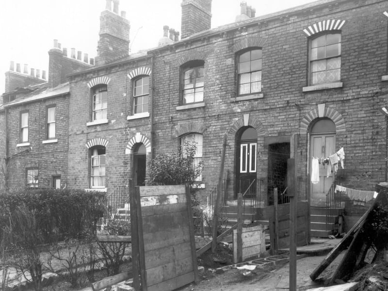
13. Leeds slum clearance
Back-to-back houses on Queen's Terrace in March 1961. Due for demolition in slum clearance plans for the area. Photo: West Yorkshire Archive Service
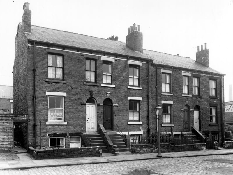
14. Leeds slum clearance
Back-to-back houses on Armenia Grove in February 1961. Included in slum clearance plans for the Roundhay Road area. Photo: West Yorkshire Archive Service
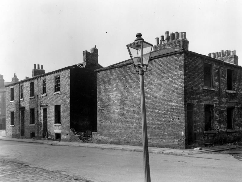
15. Leeds slum clearance
Derelict properties on Manor Street to the left and White Street to the right in March 1961. Included in slum clearance plans. Photo: West Yorkshire Archive Service
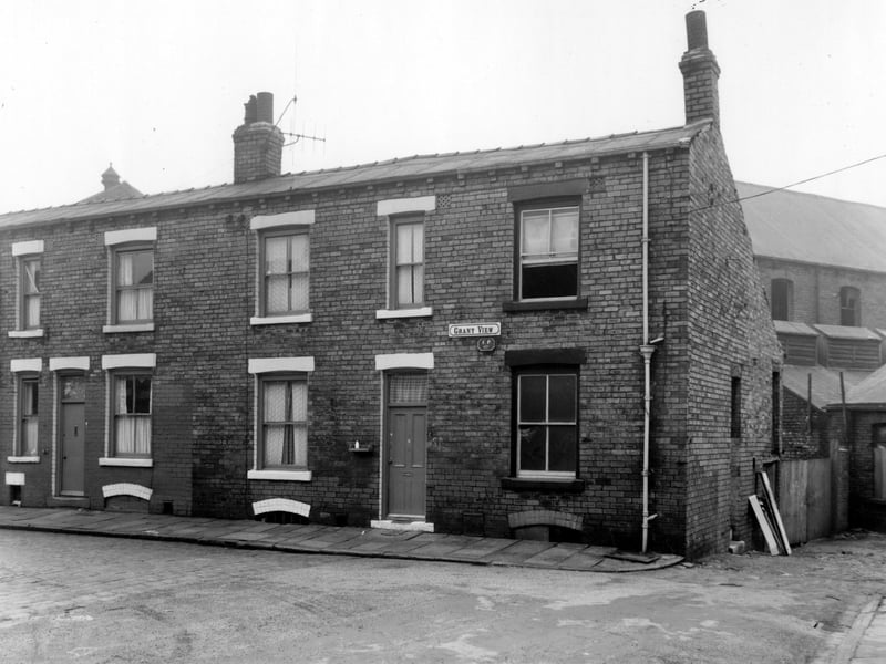
16. Leeds slum clearance
Houses on Grant View in March 1961. Included in slum clearance plans for the Roundhay Road area. Photo: West Yorkshire Archive Service
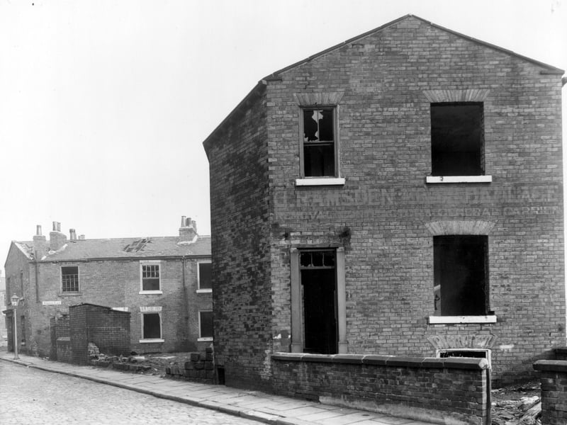
17. Leeds slum clearance
Derelict property on Wingham Street, which had been the premises of Ramsden's Haulage. Included in slum clearance plans for the Roundhay Road area. Pictured in March 1961. Photo: West Yorkshire Archive Service
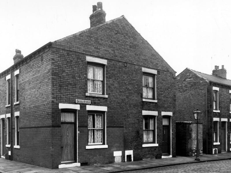
18. Leeds slum clearance
Grant Street runs on the left edge of this view. Numbers on Enfield Avenue run from 26 to 22 left to right. Included in slum clearance plans for the Roundhay Road area. Pictured in March 1961. Photo: West Yorkshire Archive Service