
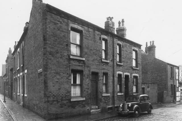


Corner shops and streets filled with row upon row of terraced houses take centre stage in this gallery of memories. They turn the spotlight on Burley in the 1950s and showcase a community at work, rest and play. The images are published courtesy of West Yorkshire Archive Service, which collects and looks after the unique documentary heritage of the region dating from the 12th century to the present day - more than 800 years of local history. It also runs Catablogue, an online blog dedicated to preserving the past, serving the present and protecting the future. READ MORE: Memories of lost Leeds pubs in Burley and Kirkstall LOVE LEEDS? LOVE NOSTALGIA? Join Leeds Retro on facebook YEP RETRO NEWSLETTER: Sign up for our free monthly email digest of Leeds nostalgia
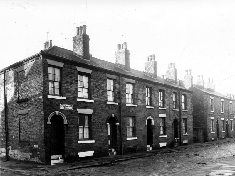
19. Burley in the 1950s
A view along Upper Greystone Street from the corner with Wordsworth Street. The numbering begins here with 1 and continues to the right in sequence, ending with 13 on the right. This is the junction with Greystone Street. | West Yorkshire Archive Service Photo: West Yorkshire Archive Service
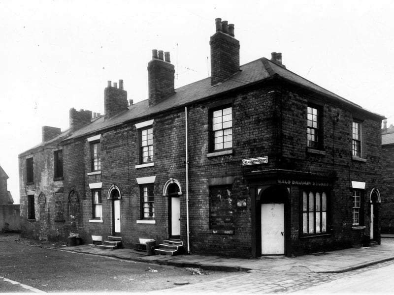
20. Burley in the 1950s
Palmerston Street is on the left, numbers 6/8 are derelict and bricked up. Next number 4 then 2. The shop at the corner is 32, Lloyd Street 'Macs Bargain Stores'. On the right is 30, this is the corner with Longside Street. | West Yorkshire Archive Service Photo: West Yorkshire Archive Service
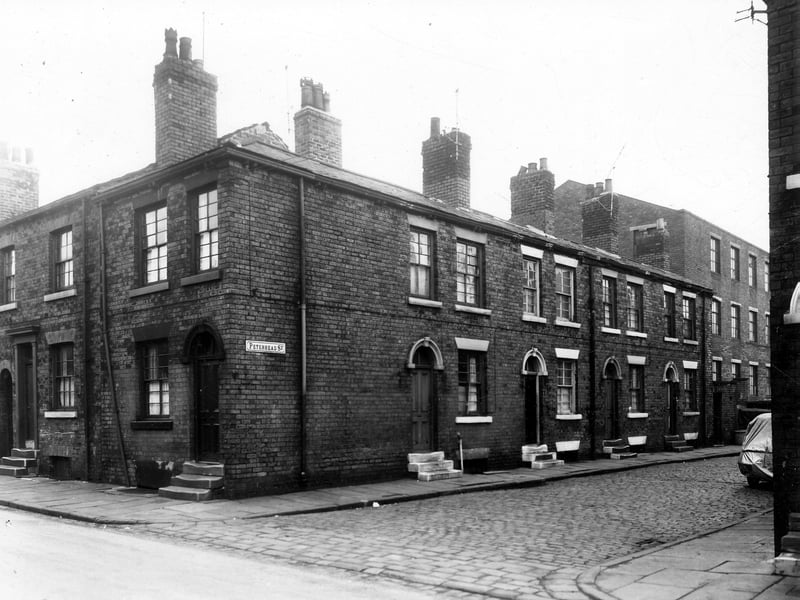
21. Burley in the 1950s
Number 40 Lloyd Street is on the left, then 38. Moving right is Peterhead Street, beginning with 1 followed by 3, 5 and 7. The large building on the right is the premises of J.H. Bean and Co. Ltd, fireplace dealers. The address was 19 Ventor Place. | West Yorkshire Archive Service Photo: West Yorkshire Archive Service
22. Burley in the 1950s
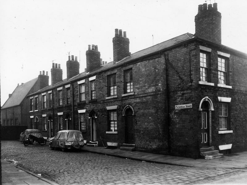
On the left the back of St. Simons School can be seen, then Peterhead Street. Number 10 is at this end then numbers follow to the right ending with 2. On the right is Lloyd Street, number 36 is visible. Two cars parked are covered in plastic sheets. | West Yorkshire Archive Service Photo: West Yorkshire Archive Service
23. Burley in the 1950s
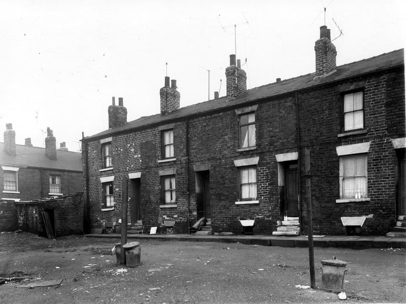
Burley Grove can be seen on the left. Number 12 Rockcliffe Street is next right, then 10, 8 and 6, on the right edge. This is looking across waste ground which had been the site of Rockcliffe Place. | West Yorkshire Archive Service Photo: West Yorkshire Archive Service
24. Burley in the 1950s
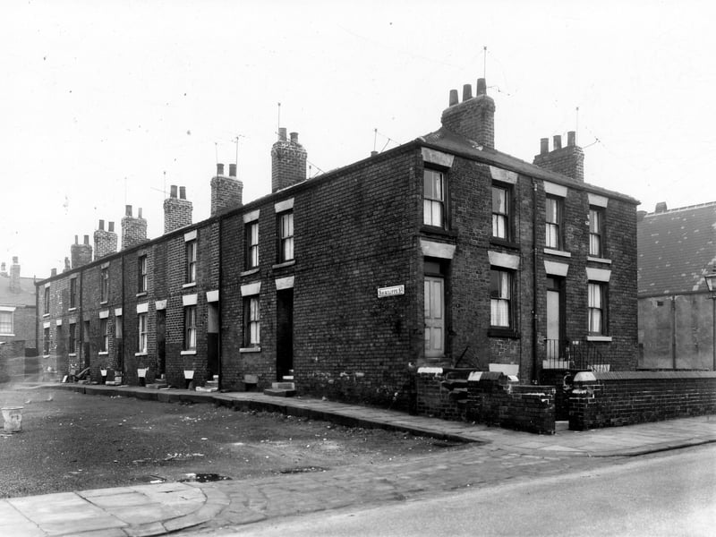
Number 12 Rockcliffe Street is on the left, moving right numbers follow in descending order to 2. Ventnor Street is on the right with number 7 then 9 on the right. | West Yorkshire Archive Service Photo: West Yorkshire Archive Service