
The odds on Leeds having a ‘white Christmas’ revealed - when we’ll know if it’ll snow on Christmas Day
A Met Office video explains what a 'white Christmas' is, as the latest odds on snow falling on Christmas Day are revealed.
OLBG (Online Betting Guide) have shared the odds on snow falling on Christmas Day.
Leeds Bradford Airport is the joint 6th most likely place to see a ‘white Christmas’ with 5/2 odds (28.6%).
Snow on Christmas Day 2025 odds - full list
Aberdeen (Airport) EVS 50.0%
Edinburgh (Airport) 5/4 44.4%
Glasgow (Airport) 5/4 44.4%
Newcastle (Airport) 6/4 40.0%
Belfast (Airport) 2/1 33.3%
New York (JFK) 5/2 28.6%
Leeds Bradford (Airport) 5/2 28.6%
Liverpool (Airport) 3/1 25.0%
Manchester (Airport) 3/1 25.0%
Dublin (Airport) 4/1 20.0%
Birmingham (Airport) 5/1 16.7%
Bristol (Airport) 5/1 16.7%
Cardiff (Airport) 5/1 16.7%
London City (Airport) 6/1 14.3%
Gatwick (Airport) 6/1 14.3%
Southampton (Airport) 6/1 14.3%
Paris CDG (Airport) 8/1 11.1%
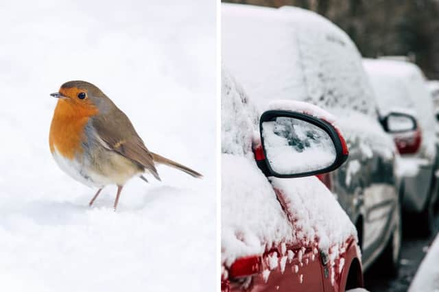

What is a 'white Christmas'?
For the Met Office to declare a ‘white Christmas’, a single snowflake has to be observed falling in the 24 hours of December 25, by either an official Met Office observer or by a Met Office automated weather station.
When was the last ‘white Christmas’?
According to the Met Office, 2023 was technically the last ‘white Christmas’ in the UK with 11% of stations recording snow falling, however none reported snow lying on the ground.
2010 was the last widespread ‘white Christmas’ in the UK, with snow on the ground at 83% of stations, but snow or sleet also fell at 19% of stations. 2009 was also a ‘white Christmas’, with 13% of stations recording snow or sleet falling, and 57% reporting snow lying on the ground.
How likely is a ‘white Christmas'?
The Met Office says that since 1960 around half of the years have seen at least 5% of the network record snow falling on Christmas Day - meaning we can probably expect more than half of all Christmas Days to be a 'white Christmas'.
However, there has only been a widespread covering of snow on the ground (where more than 40% of stations in the UK reported snow on the ground at 9am) four times since 1960 - in 1981, 1995, 2009 and 2010.
When will we know if we'll have a ‘white Christmas’?
It is too early to know if we’ll have a ‘white Christmas’ this year. The Met Office say they can accurately forecast if snow is likely on any given Christmas Day up to five days beforehand.
Met Office UK long-range forecast
Sunday December 7 to Tuesday December 16
Likely a continuation of the unsettled conditions seen recently, with further showers or longer spells of rain and some strong winds affecting most if not all of the country. Sunday will likely start largely fine, bar a few showers, but another band of rain is expected to move east or northeast across the country during the day. This will clear to showers, but further bands or areas of rain are likely to move east or northeast across the country over the following several days, some of these accompanied by very strong winds. Temperatures will generally be near or a little above average, but feeling cool in the wind and rain. We are unlikely to see much in the way of frost or fog in this unsettled spell.
Wednesday December 17 to Wednesday December 31
This period is likely to be changeable, with further spells of rain or showers and some strong winds at times, especially in the west. Hill snow is also a possibility, mainly in the north. However, there is a greater chance of spells of high pressure during this period, bringing more in the way of dry weather compared to the unsettled patterns we are likely to see through the first couple of weeks of December. This will increase the chances of overnight fog and frost. Overall, near or slightly above average temperatures are most likely, though some colder spells are also possible, especially should any prolonged settled spells develop.