
Ice warning issued for Leeds amid risk of hazardous travelling conditions - when warning will be in place
Watch the Met Office’s weekend video forecast, as an ice warning is issued for Leeds.
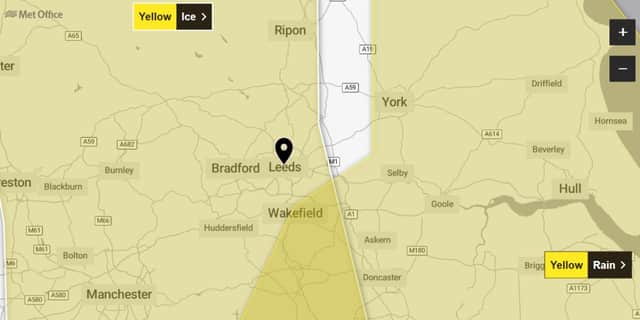
The Met Office has issued an ice warning for Leeds.
The yellow ice warning will be in place from 22:00 today (Saturday November 29) to 09:00 tomorrow (Sunday November 30).
Met Office yellow ice warning
The warning reads: “Icy stretches could cause some disruption on Saturday night and Sunday morning.
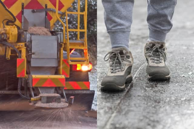

“Some injuries from slips and falls on icy surfaces. Probably some icy patches on some untreated roads, pavements and cycle paths.
“Following rainfall earlier in the evening, surface temperatures are expected to fall widely below freezing. With surfaces left wet, ice is expected to form on untreated surfaces and may lead to hazardous travelling conditions.”
Met Office Yorkshire and Humber forecast
Today (Saturday November 29)
Cloudy with spells of rain perhaps becoming more persistent this afternoon and sometimes heavy, also possibly turning wintry for the higher parts of the Pennines. Light winds strengthening again later, especially across the east of the region. Feeling rather cold. Maximum temperature 8 °C.
Tonight (Saturday November 29)
Rain will gradually ease from the west, with most places becoming dry and some clear intervals developing. Windy along the coast with a risk of gales. Breezy elsewhere. Minimum temperature 0 °C.
Tomorrow (Sunday November 30)
Probably windy at first along the coast with scattered showers, breezy elsewhere with patchy cloud. Largely sunny conditions will develop through the day as the wind slowly eases. Feeling cold. Maximum temperature 6 °C.
Outlook for Monday December 1 to Wednesday December 3
Wet, windy and milder for Monday. Cooler again with temperatures closer to normal for Tuesday and Wednesday, with bright or sunny spells and a chance of showers.