
Storm Chandra: Met Office ice warning issued for Leeds as temperatures drop - when warning will be in force
Watch the Met Office forecast, as a weather warning is issued for Leeds.
A Met Office ice warning has been issued for Leeds and wider West Yorkshire.
The yellow ice warning will be in place for the city from 00:00 to 10:00 on Wednesday January 28.
The warning - which has a medium likelihood and a low impact - reads: “Patchy ice is likely to form on untreated surfaces by Wednesday morning and may lead to some disruption.
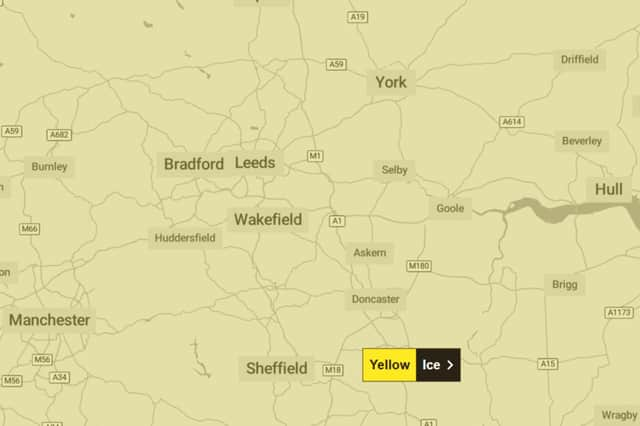

“Some injuries from slips and falls on icy surfaces. Probably some icy patches on some untreated roads, pavements and cycle paths.”
“Clearing skies Tuesday night will allow temperatures to fall below freezing soon after midnight and on Wednesday morning. After the recent wet weather, icy patches are likely to develop on some untreated surfaces.”
Met Office Yorkshire and Humber forecast
Today (Tuesday January 27)
Windy with rain through the morning, heavy at times, and turning to snow across the hills. Rain gradually easing from the south and west through the afternoon, but staying cloudy. Winds also easing a little as rain clears. Maximum temperature 6 °C.
Tonight (Tuesday January 27)
Winds easing further overnight, with some clear spells developing. Areas of patchy fog or freezing fog are likely to develop by dawn. Frost, and icy stretches possible. Minimum temperature -3 °C.
Wednesday (January 28)
Early fog slow to clear, perhaps lingering all day in a few spots and quickly reforming later in the day. Otherwise mainly dry, but often cloudy. Light winds. Maximum temperature 7 °C.
Outlook for Thursday (January 29) to Saturday (January 31)
Dull, perhaps foggy start Thursday. Any fog clearing to brighter spells, ahead of a band of rain moving east overnight and early Friday. Staying unsettled thereafter, with further rain expected.